Satellite Imagery Reveals Extent of Destruction in Southern Lebanon
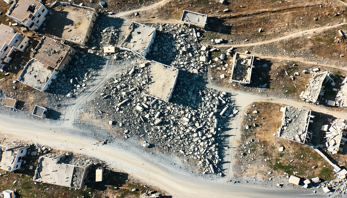
A comprehensive damage assessment conducted by the United Nations Development Programme in partnership with Lebanon's National Council for Scientific Research has quantified the destruction across southern Lebanon's most affected areas.
The evaluation, which examined regions south of the Litani River including Bint Jbeil, Marjayoun, Nabatieh, Tyre, and Sidon, found that direct building damage totals approximately 1.38 billion US dollars. The assessment also calculated the debris volume at roughly 3.1 million cubic metres.
The findings document 11,095 buildings that sustained complete destruction, impacting 17,891 residential units. An additional 2,242 structures experienced partial damage affecting 5,219 housing units, while 9,311 buildings suffered minor damage to 18,282 units combined.
The most heavily impacted areas showed a concentration of total destruction in specific communities. In Bint Jbeil district, Ainatha recorded 1,658 completely destroyed buildings and Bint Jbeil itself had 1,076. The Marjayoun district saw Mays al-Jabal with 969 destroyed structures and Taybeh with 824. Other significantly affected locations included Burj al-Shamali with 370 destroyed buildings and Naqoura in the Tyre district with 216.
The assessment employed a methodology combining geospatial artificial intelligence with visual verification conducted in office settings, rather than on-site inspections. High-resolution satellite imagery captured on April 29, 2026 was compared against reference images from October 23, 2025, enabling analysts to identify damage patterns including roof collapses, structural compromise, and debris accumulation at individual building locations.
Damage calculations incorporated building footprints, floor counts, and standard replacement costs aligned with UNDP assessment protocols previously applied elsewhere. The artificial intelligence model underwent systematic visual verification by UNDP personnel at the building level, achieving an overall accuracy rate of approximately 85 percent.
The assessment provides a snapshot of conditions as of April 29, 2026, and does not account for ongoing recovery or reconstruction activities. The evaluation also excludes basement levels and underground infrastructure, as well as damage to critical systems including roads, bridges, electrical grids, water networks, and telecommunications infrastructure.
This assessment follows similar documentation efforts conducted for Beirut and Mount Lebanon, establishing a foundational database for calculating recovery needs and establishing reconstruction priorities in the most severely impacted regions.
Compare options